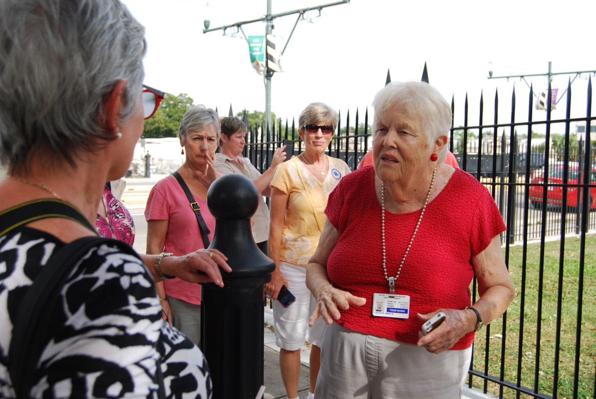
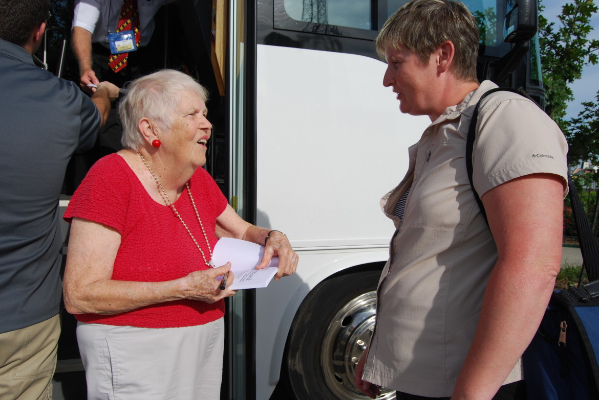
Today we decided that we were going to go around Lake Ponchatrain. We arrived just in time to catch our bus for the three hour Katrina tour. Our tour guide Mary Lacoste, who happened to be 82 years old, was great. She is a retired school teacher with a history background. She went into great detail on what happened during the storm and how government agencies that were not working together, may have caused the disaster, In the end the Mississippi levees held up. It was the walls of the canals that failed causing flooding in ward 9.

- Mary Lacoste our 82 year old tour guide. She was wonderful. So full of great stories about the area.

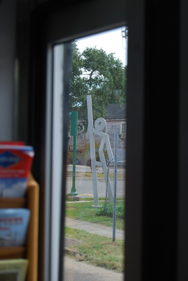
- In the After Action Report it was determined that people in the less advantaged areas did not have cars and relied on public transportation, especially for evacuation. This piece of “artwork” is actually an evacuation collection point. They are scattered around the area and let he people know that if they require transport this is where the buses will be.

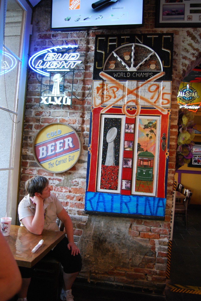
- I’m not usually into artwork, but this door that was turned into an art piece commemorating Katrina was really nice. It was the restaurant owners front door from his house.

X – Marks the spot
The Gallery:
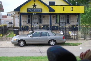
- Fat Domino’s house

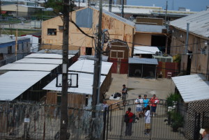
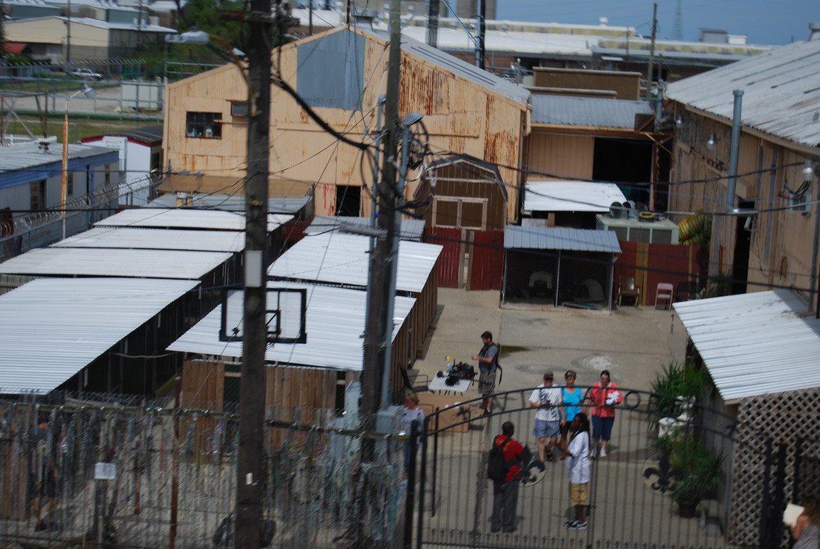
- Prisoners training Rotwilers
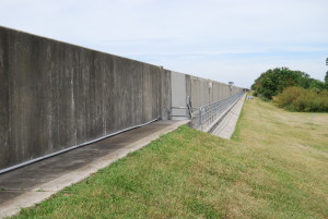
- The 17th Canal Levee. This gave way and the flooding started.

- Area below the breach.


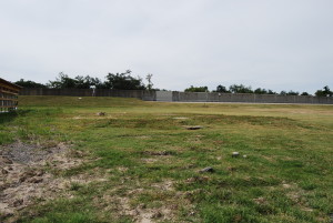
- This area used to be filled with houses.

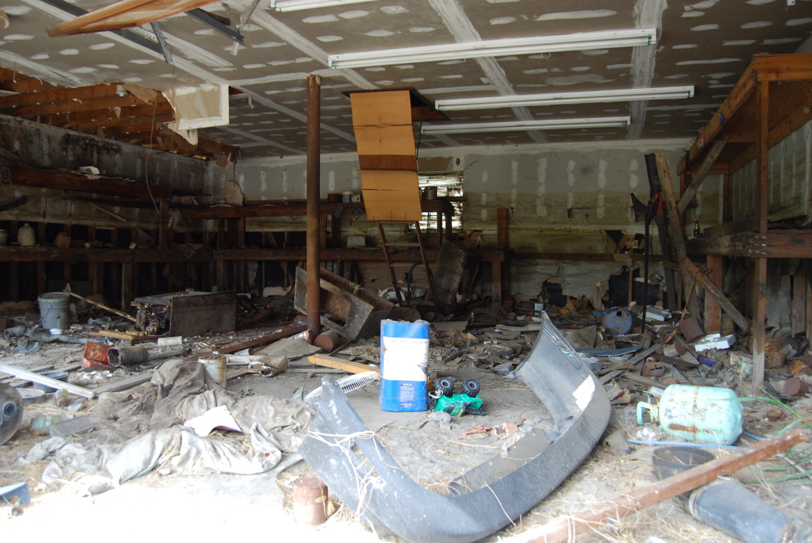
- Inside an abandoned house.
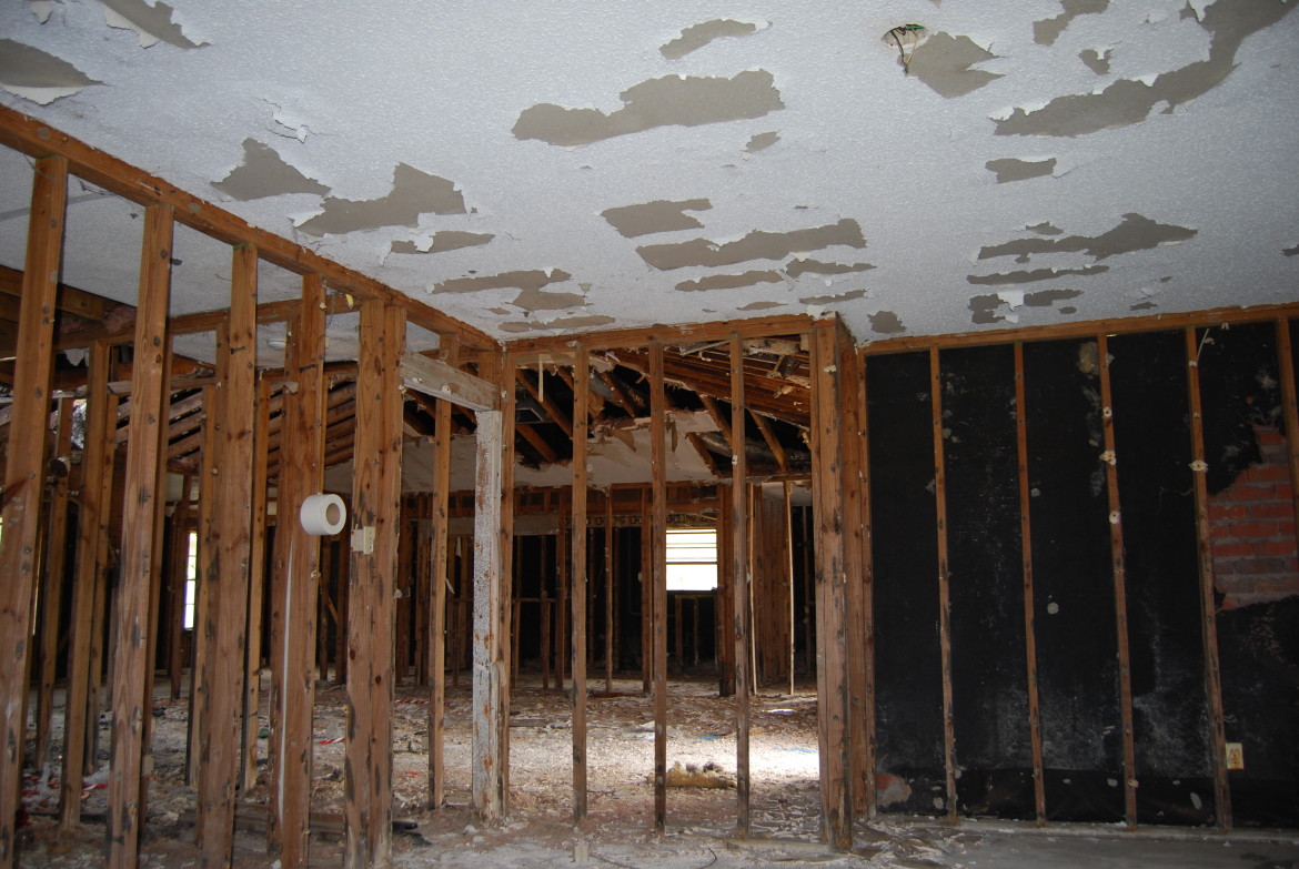

- Inside an abandoned house.
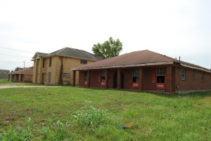
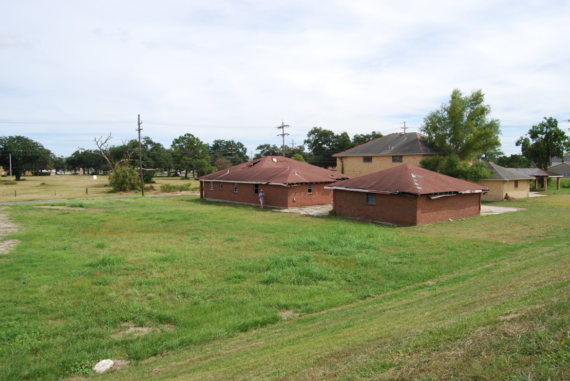
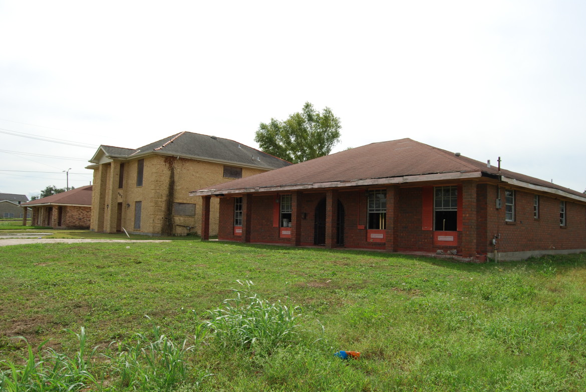
- Affected houses
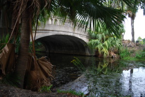
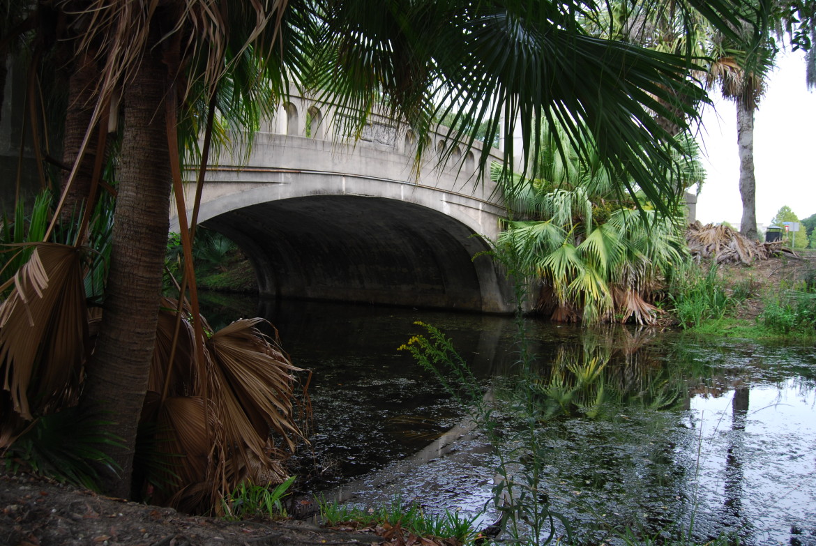
- A park bridge.

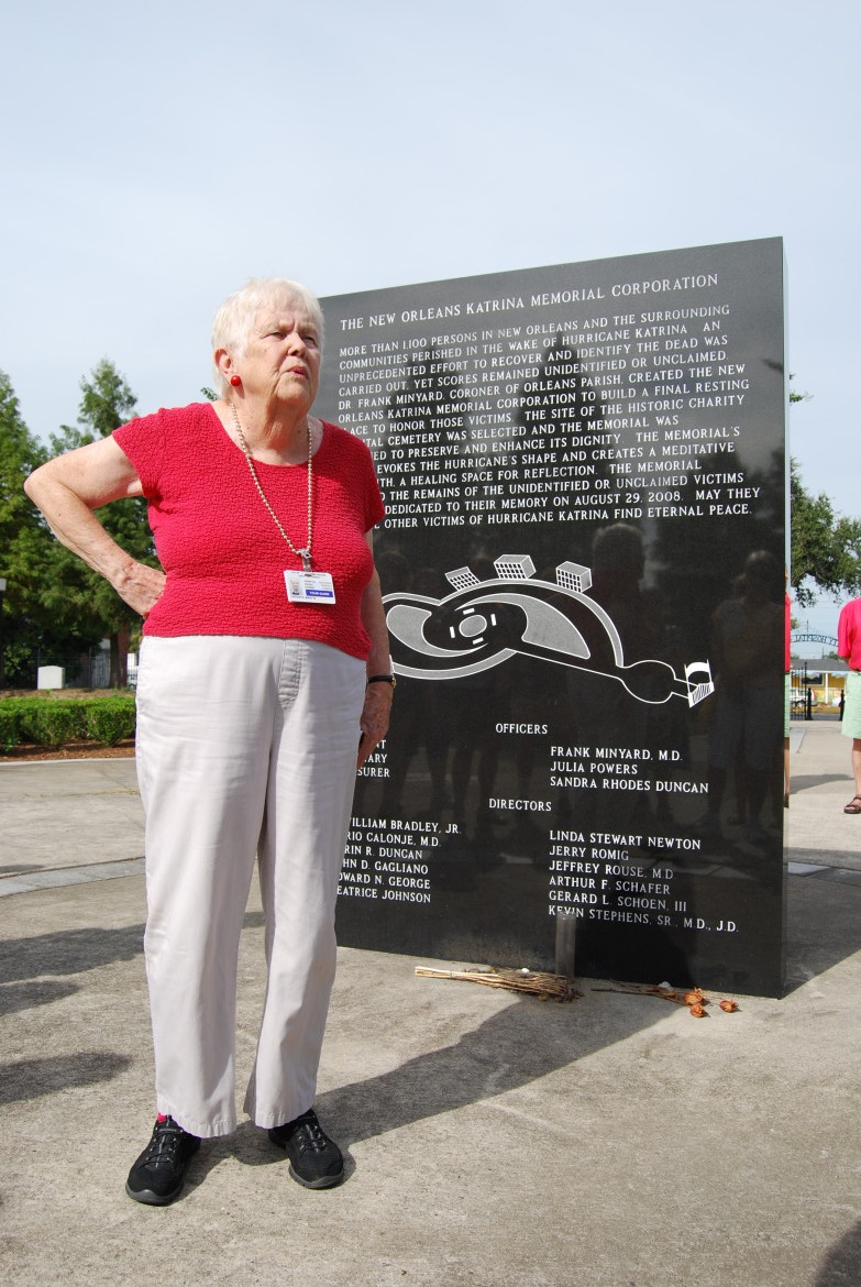
- The New Orleans hurricane memorial to the unclaimed.


- Mary our tour guide
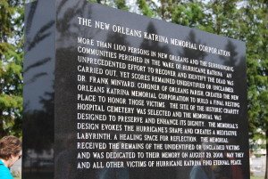
- The Katrina Hurricane memorial
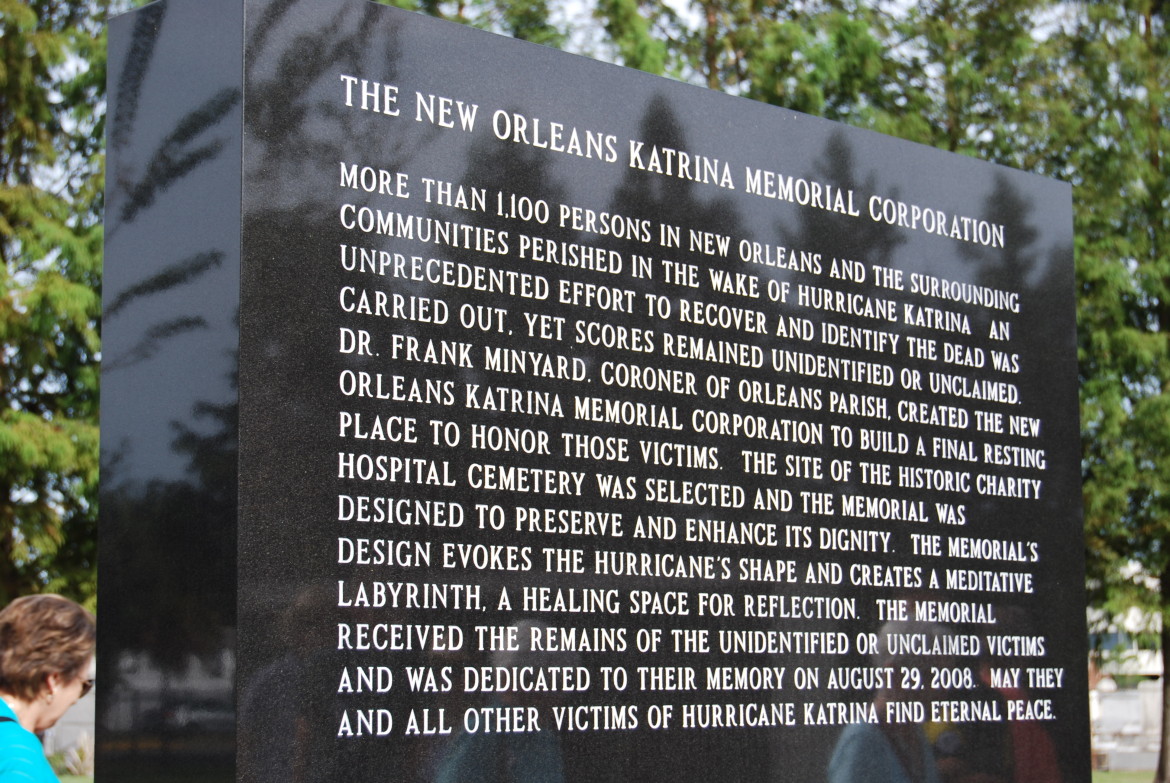
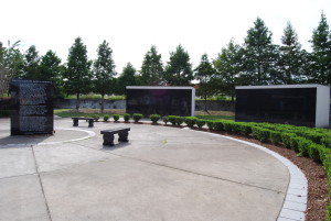
- The Katrina Hurricane memorial


- Mary signing our copy of her book about cemetaries

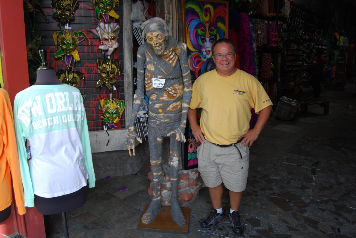
- Getting ready for the zombies.
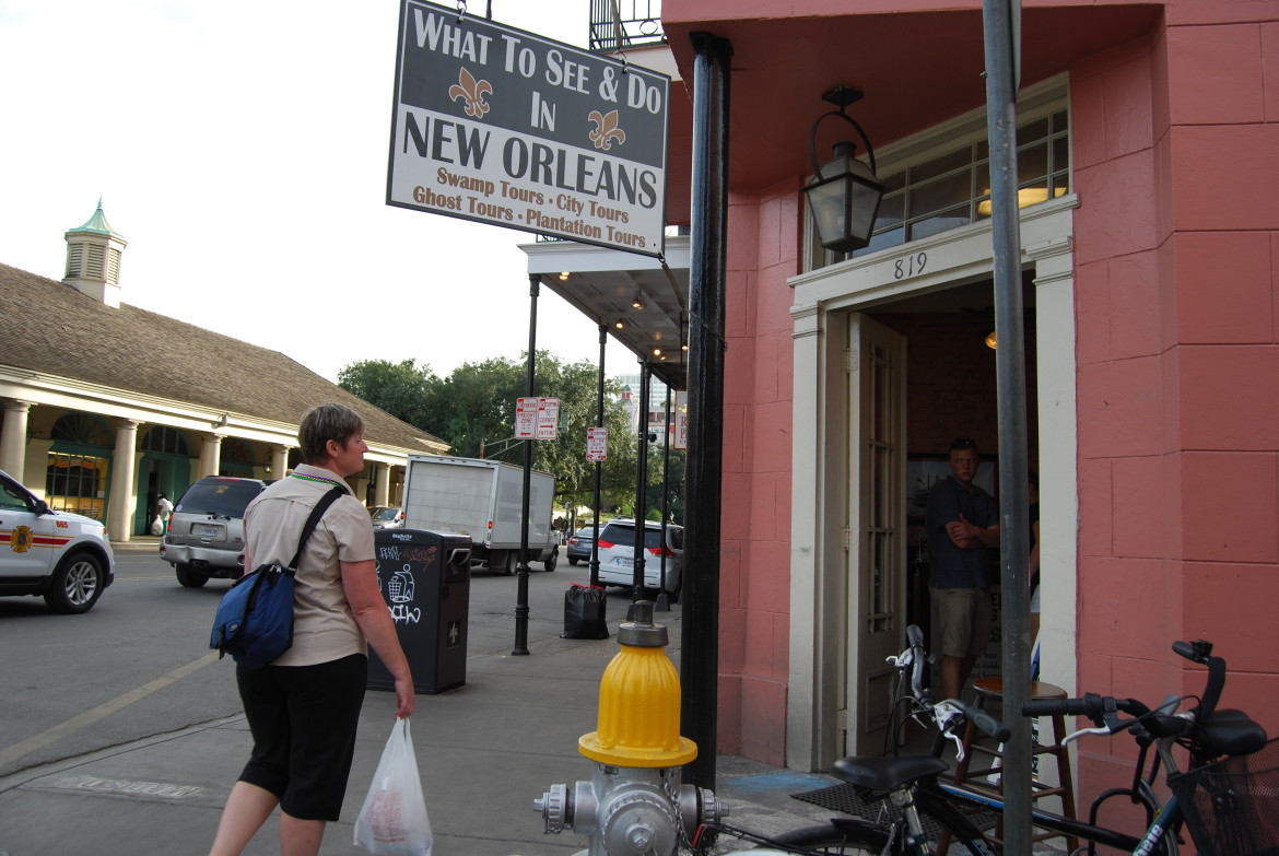

- Stephanie enjoying her “to go” cup.